Labor Day ushers in the season's inaugural snowfall in Utah. What's next on the weather horizon?9/6/2023  Labor Day in Utah saw an early arrival of winter as the state witnessed its first snowfall of the season, marking the unofficial end of summer. Resorts like Snowbird and Solitude celebrated their inaugural snowfalls, with even state Route 150 near Bald Mountain Pass in the western Uintah Mountains adorned in white.
The National Weather Service's Salt Lake City forecast office warned that those venturing into higher elevations above 10,000 feet should brace for winter-like conditions. Comparatively, last year's first snowfall occurred on September 16th near the same location.
While this year's September 4th snowfall might seem early, meteorologist Matthew Johnson mentioned that it's not unusual, with some instances even occurring in late August. 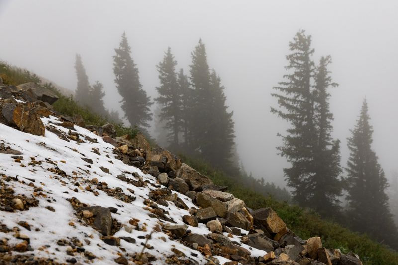
Despite this early snowfall, it's expected to melt away, and Utah may experience a few more minor snowfalls over the next month and a half before snow becomes more persistent in the mountains, typically starting in late October. This snowfall was accompanied by thunderstorms and rain in the Wasatch Front region, leading to cooler temperatures. However, weather forecasts suggest that temperatures will rise later in the week, with highs reaching the 80s. 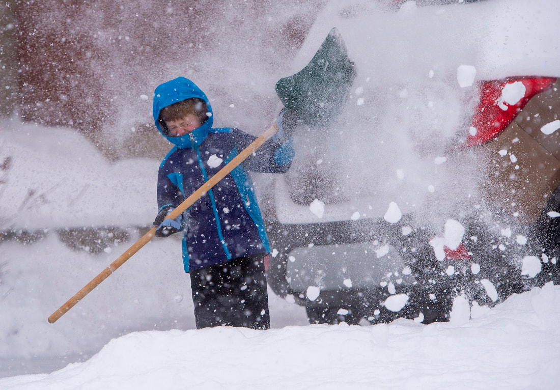
As the storm system moves towards Wyoming, some showers may linger along the Wasatch Front until early afternoon, but conditions are expected to improve, making for a relatively pleasant Labor Day afternoon and evening.
0 Comments
Leave a Reply. |

Categories
Categories
All
|
 RSS Feed